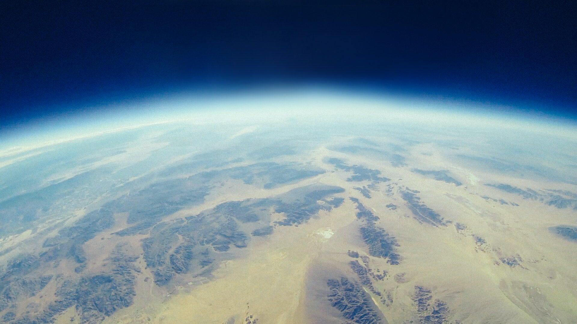
Hello! Have you ever asked yourself what exactly geoinformatics is? Is it something like geography? Is it informatics? Don’t worry, in this post I will provide a brief introduction into the field and tell you what on earth geoinformatics is and what makes it such an interesting field to study.
„Geoinformatics is the science and the technology which develops and uses information science infrastructure to address the problems of Earth sciences such as geography, geodesy, cartography, photogrammetry, GPS, GIS, and related branches of science and engineering.„
Knowledge Discovery in Big Data from Astronomy and Earth Observation, 2020
This means that geoinformatics is the use of computer science and information technology to collect, analyze, and ultimately visualize geographic data in order to make make complex patterns visible and draw new insights from it. It is a interdisciplinary field that draws from disciplines computer science, geography, geology, landscape ecology and statistics, and is used in a wide range of applications including environmental analysis, urban planning, disaster management, just to name few.

History
Geoinformatics as a field has its origin in the domain of Geography. Geography, the study of the Earth and its features, including physical, biological, and human aspects of the environment, is a discipline that has been around for a long time. Likely the most important development in Geography was the creation of maps, which allowed people to represent and understand the geography of a region. Over time, advances in cartography and mapping techniques allowed for the creation of more accurate and detailed maps. In the 20th century, the advent of computers and digital technology revolutionized the field of geography, leading to many changes in the domain including the development of new quantitative methods and techniques.
In the early days, geoinformatics primarily involved the development of computer-based systems for the storage, retrieval, and manipulation of geospatial data. This included the digitization of maps and the creation of spatial databases. As advancements in computer hardware and software continued, geoinformatics expanded to encompass a wider range of applications. Geographic Information Systems (GIS) emerged as a key component of geoinformatics, providing tools for data capture, storage, analysis, and visualization. Throughout the 1980s and 1990s, geoinformatics experienced significant growth with the increasing availability of spatial data, advancements in data acquisition technologies such as satellite imagery and GPS, and the development of more powerful and user-friendly GIS software.
In recent years, geoinformatics has further evolved with the integration of emerging technologies such as remote sensing, mobile computing, cloud computing, and big data analytics. If you are interested in finding out which fields of application there are for geographic data sources and what the current state of research is, then check out my list of other blog post I made for the past courses I attended throughout my applied geoinformatics studies programme.