The colloquium ‚Introduction into Historical GIS. Bringing 19th Century Resource Knowledge on the Map‘ offered by History Department of the Faculty of Social Sciences at the University of Salzburg was centred around exploring the capabilities of geographic information systems (GIS) for the analysis of historic data.
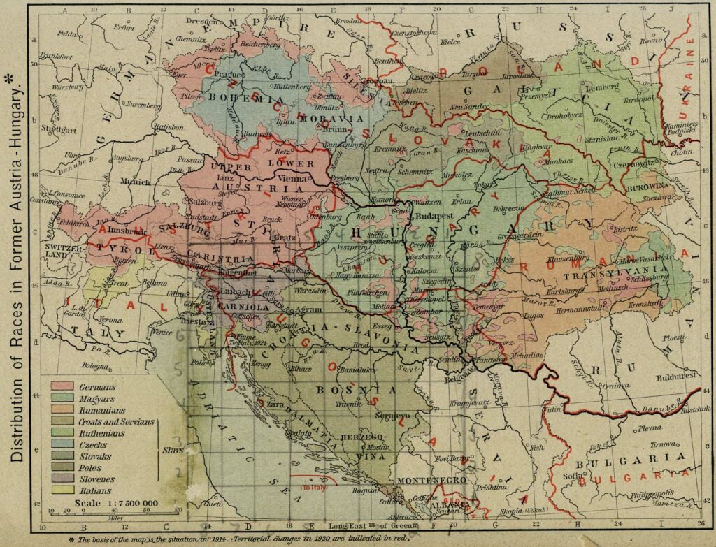
GIS are among the most important digital tools for historians. Usually statistical data or information on the use of buildings or land are analyzed in this way. However, it is also possible to map phenomena that at first sight do not look like data. In this tutorial GIS was used to map what people in the Austria-Hungary knew about mining and the processing of raw materials in their country during the 19th century. Students were to analyze which places played a prominent economic role and were to try to understand their commonalities, particularities and spatial relations. The final goal was to evaluate a number of different primary sources and collaboratively produced a map and publish the data online.
From a technical perspective, the focus was on using QGIS, a comprehensive open source GIS. In this environment the students were encouraged to learn to creatively use GIS to answer historical questions by creating spatial data sources, doing spatial analysis and display results on a map.
For this task the focus was laid on the mining Handbook of the Austrian Empire from 1857 and 1880 respectively. This allowed for comparisons between the dates and to map changes. Within the course additional historical data sources were introduced such as old digitized maps that had to be georeferenced and population data from 19th century Austria. Results were presented in class for comparison and discussion.
Overall the course was quite fun, because it allowed for new insights into the neighbouring domain of history and the social sciences and their usage of GIS. It was also a good refresher for my skills in QGIS, a software that I hadn’t used for a while. My final map can be seen below.
