Portfolio Simon Meyer
Hello Visitor!
Welcome to my portfolio website! This website provides an overview of my work I did during the course of my applied geoinformatics master’s programme at the University of Salzburg as well as in my spare time.
In my portfolio, you will find examples of my work in geoinformatics, including mapping and spatial analysis projects, GIS software development, and geospatial data management.
If you have any questions or inquiries, please don’t hesitate to contact me using the contact information provided on this website. I am always open to discussing potential collaboration or job opportunities in the field of geoinformatics. Thank you for visiting my website!
The current portfolio is subject to change. If things change, don’t be surprised as I am still working on structuring the website, as well as adding new content in the near future!
About Geoinformatics

Master Thesis
‚Extracting Land Use and Land Cover Information from the Franciscean Cadastre using Object-Based Image Analysis and Convolutional Neural Networks‚
Bachelor Thesis
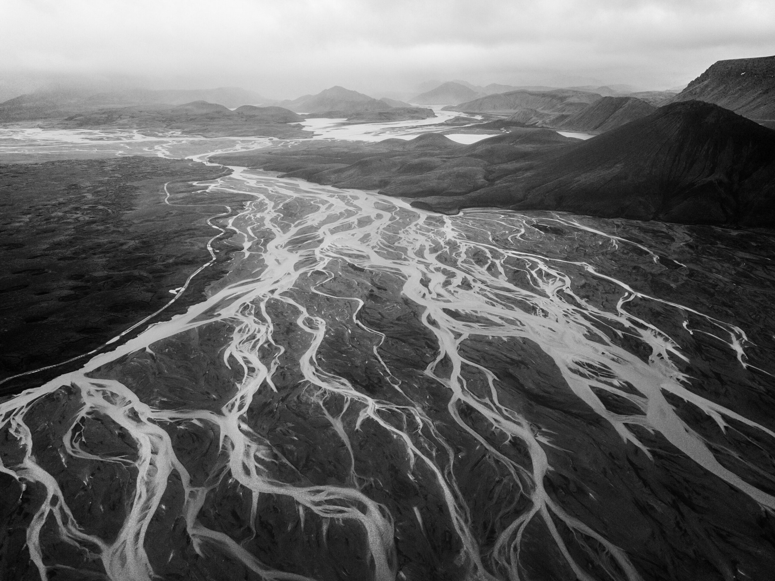
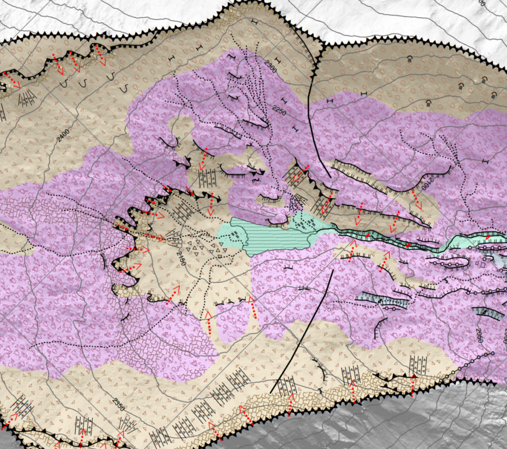
‚Geomorphologische Kartierung des Foisskarsee-Einzuggebietes‚
Selected Projects

Analysis & Modelling
Analysis and modelling in the context of geoinformatics refers to the use of geospatial data and techniques to analyse and create mathematical models to understand and predict patterns and trends in various geographic phenomena.

GIScience: Theories and Concepts
The seminar ‚GIScience: Theory and Concepts‘ covered selected theories and concepts related to the field of GIScience, which deals with the study of geographic information systems and their use in various fields such as spatial analysis and cartography.

Spatial Data Infrastructures
The seminar ‚Spatial Data Infrastructures‘ focused on the design, implementation, and maintenance of systems that allow for the storage, distribution, and management of spatial data, including geospatial databases and web-based geographic information systems.

Spatial Simulation
The seminar „Spatial Simulation“ was a course that focused on the use of computer-based models to simulate and analyse complex spatial phenomena and processes. For practical application the modelling platform GAMA was used.
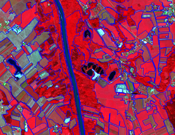
Object-Based Image Analysis
Object-Based Image Analysis (OBIA) is an image analysis technique used to classify and analyse remotely sensed images by organizing the pixels into meaningful objects or features.

Advanced Remote Sensing
The course ‚Advanced Remote Sensing‘ was a course centred around the in-depth exploration of concepts and methods used in the field of earth observation, including UAV analysis, optical and RADAR image analysis and more.
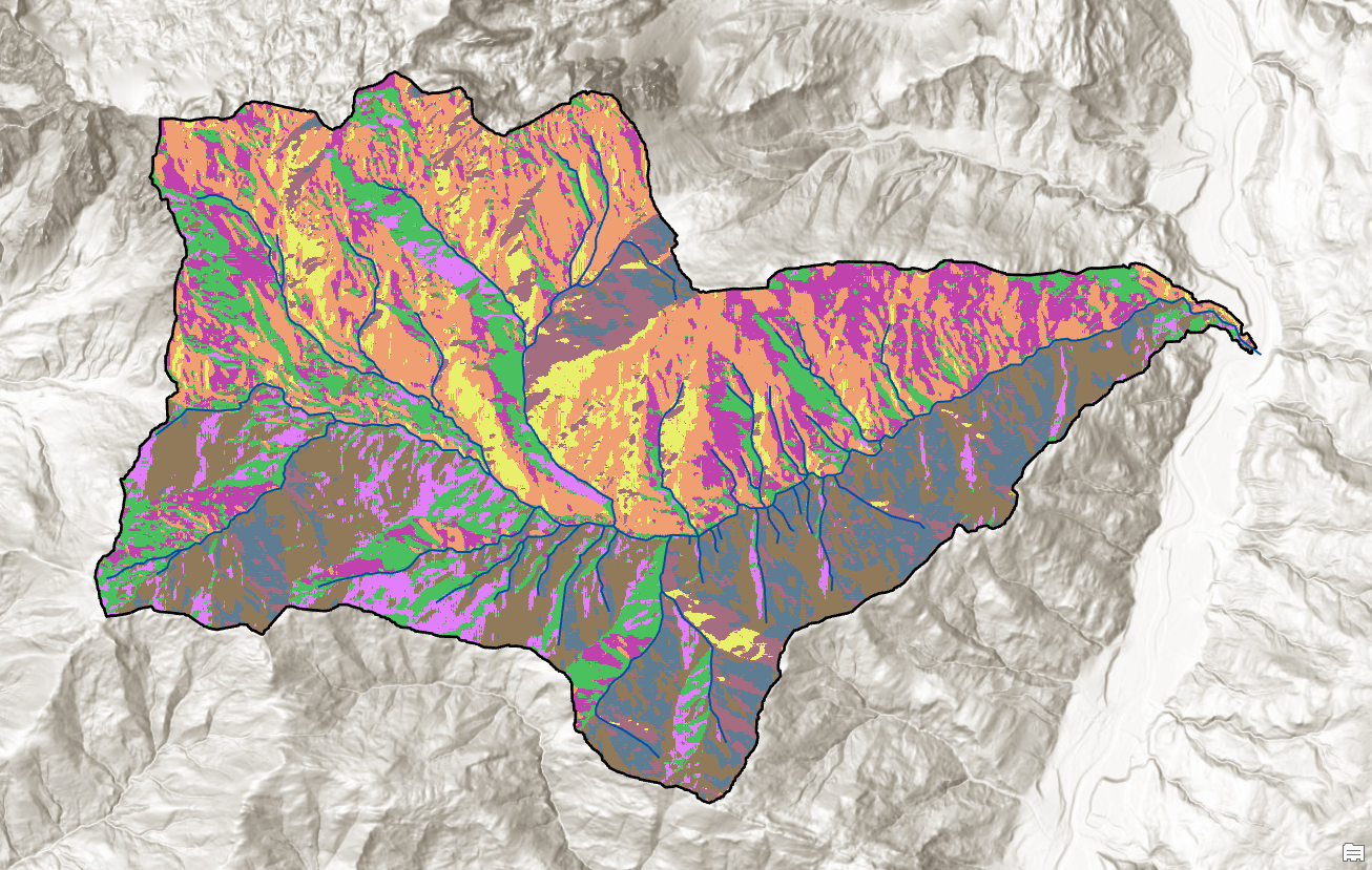
Methods in Spatial Analysis
The course ‚Methods in Spatial Analysis‘ was a course centred around the exploration of methods and tools used for spatial analysis in geographic information systems. Serveral StoryMaps were created, covering topics from surface runoff to visual impact assessment.