Autor: Simon Meyer
-
I3 Project
The course ‚I3 Project‘, short for interdisciplinary, integrated, interactive project was a late master’s seminar course that prepares students for their master’s thesis by helping to develop, test, and validate their competencies in a first large scientific project. Students were challenged with a major project to be completed through all its stages. From problem analysis,…
-
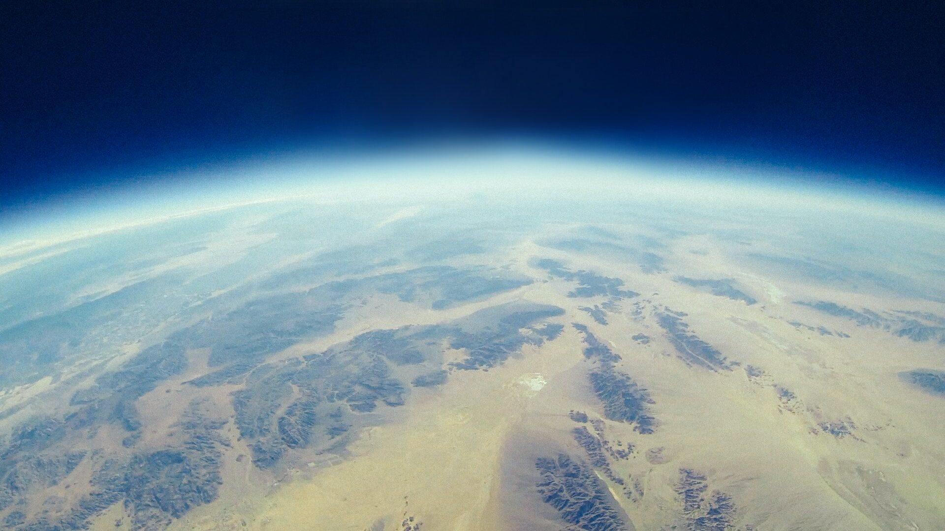
Geoinformatics
Hello! Have you ever asked yourself what exactly geoinformatics is? Is it something like geography? Is it informatics? Don’t worry, in this post I will provide a brief introduction into the field and tell you what on earth geoinformatics is and what makes it such an interesting field to study. „Geoinformatics is the science and…
-
Geovisualization and Advanced Cartography
The introductory seminar course ‚Geovisualization and Advanced Cartography‘ was centred around the communication of geographic information through maps and other types of cartographic representations, dealing with map design, methods for map making, and the application of theories and concepts in practice. The course was designed around three projects. The projects covered selected topics of geovisualization…